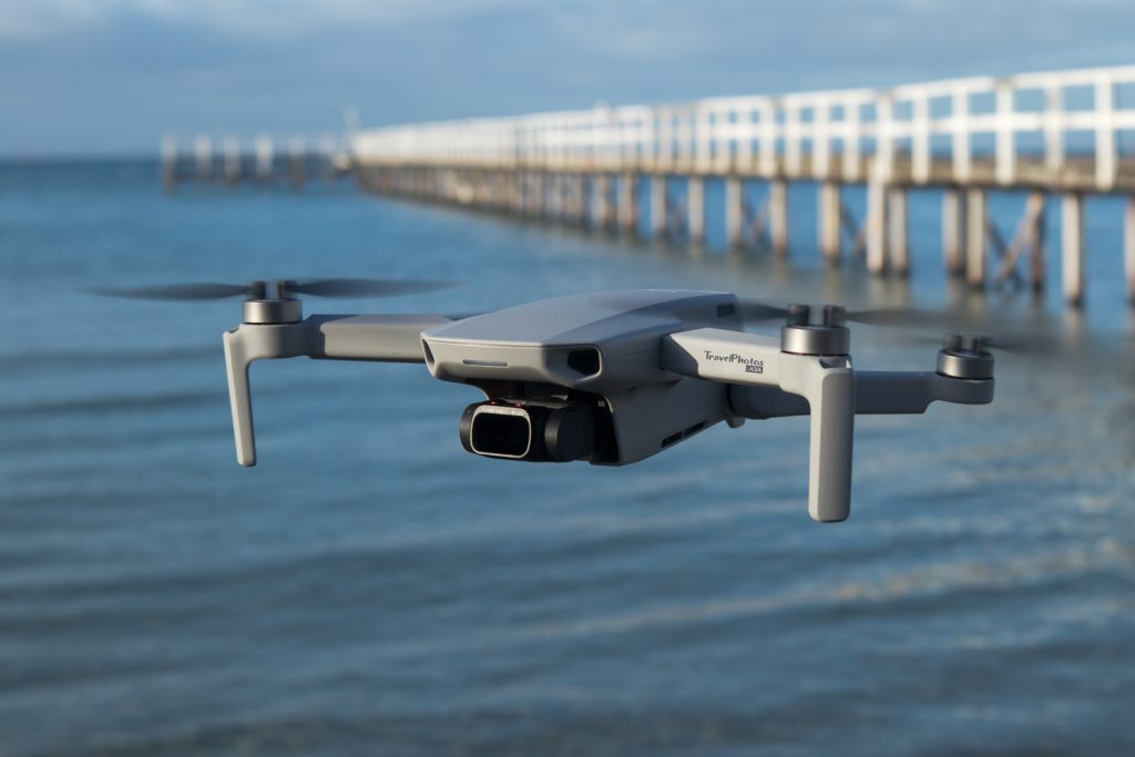
Aerial & Aviation Photography
Will travel anywhere, anytime, for any job. Based in Melbourne Australia, we do travel where ever the job takes us. Contact us to get started.
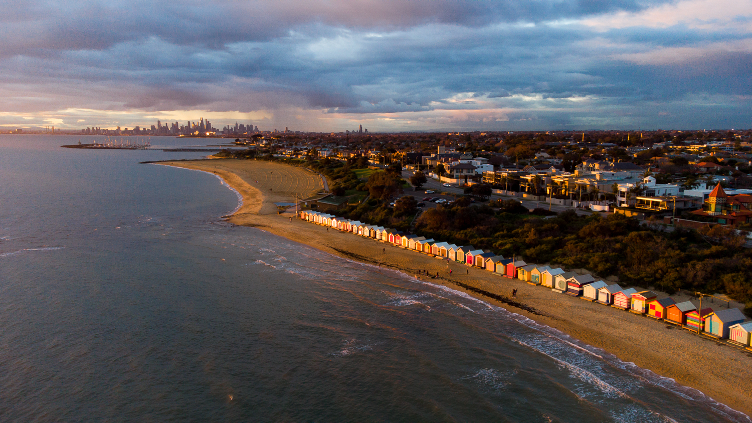
Sunset over Brighton Beach Bathing Boxes
We specialise in:
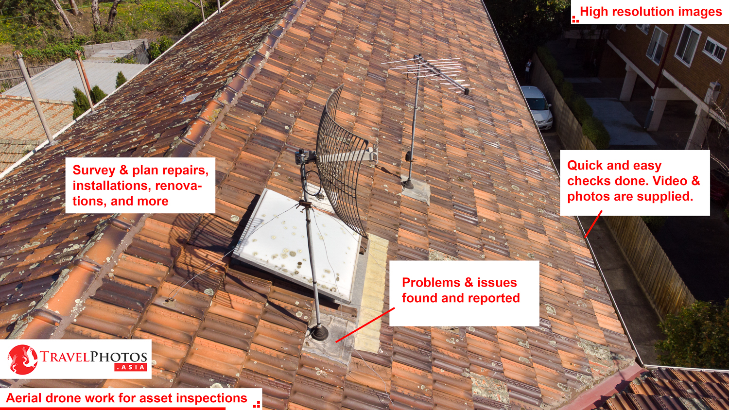
- Asset inspection
- Surveys
- Aerial photography & videography, inc:
- Real estate promotions
- Tourism promotions
- TV & movie productions
- Insurance assessments
- Photographic surveys for planning, inspections, renovations, repairs, upgrades, etc.
- And more
- Anything that requires legal permits & insurance coverage
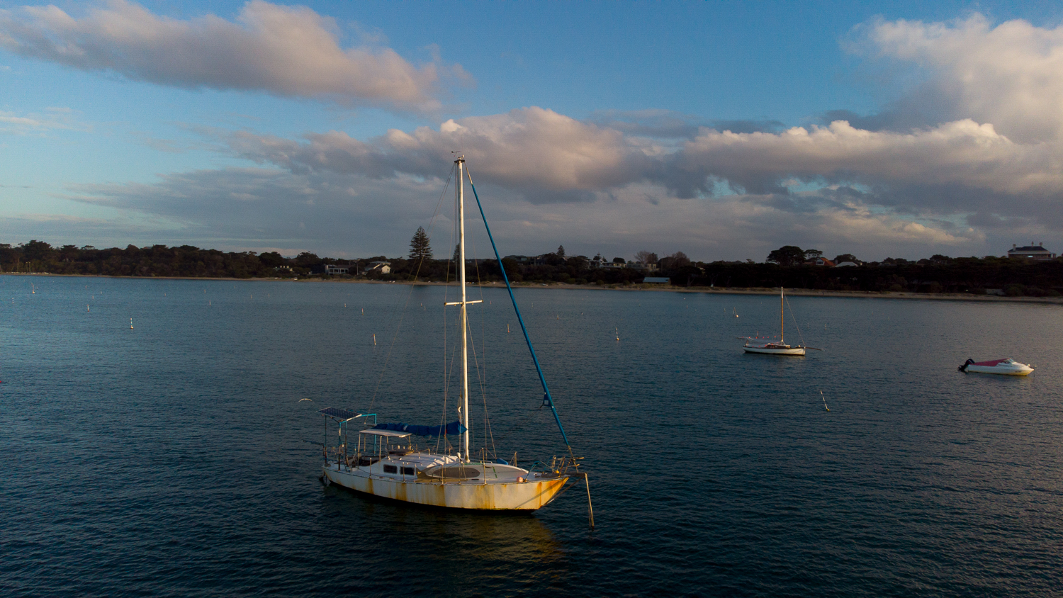
A sample asset inspection photo taken from a drone
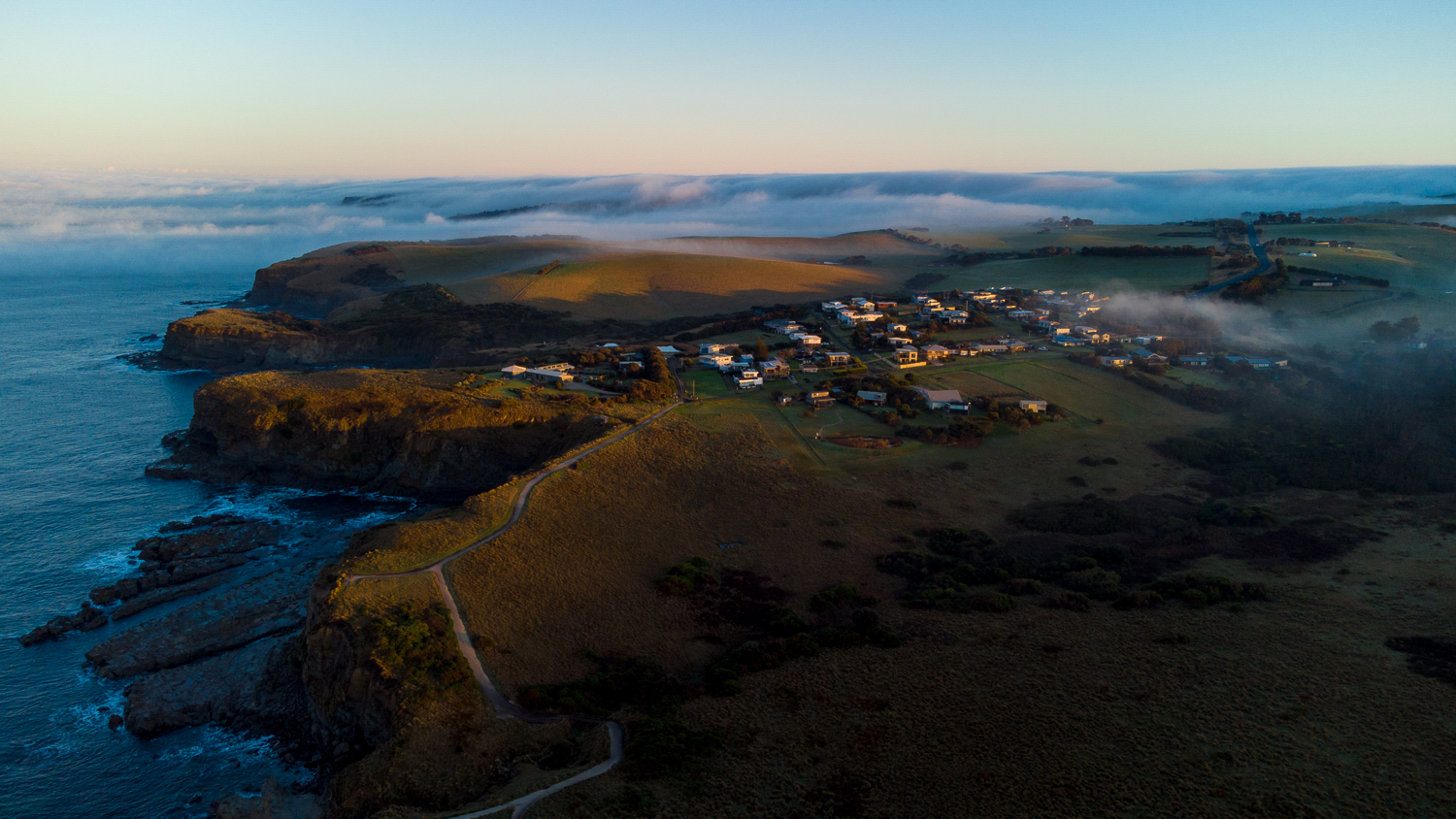
Sunrise and fog over a coastal hamlet
Real Estate & Asset Inspections
Drone aerial surveys and photography are a very affordable way to perform traditionally difficult tasks, and to add value to real estate listings.
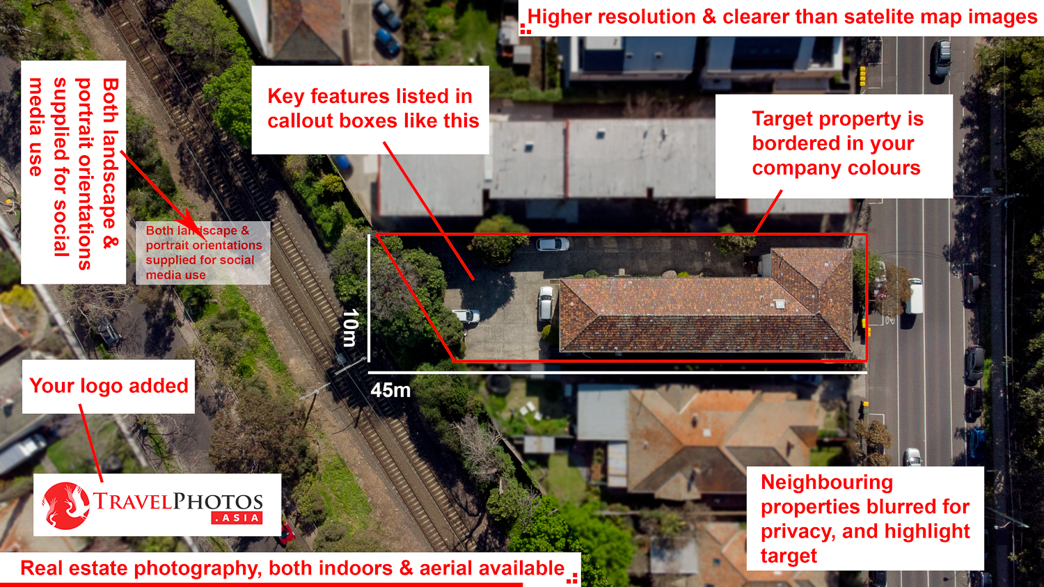
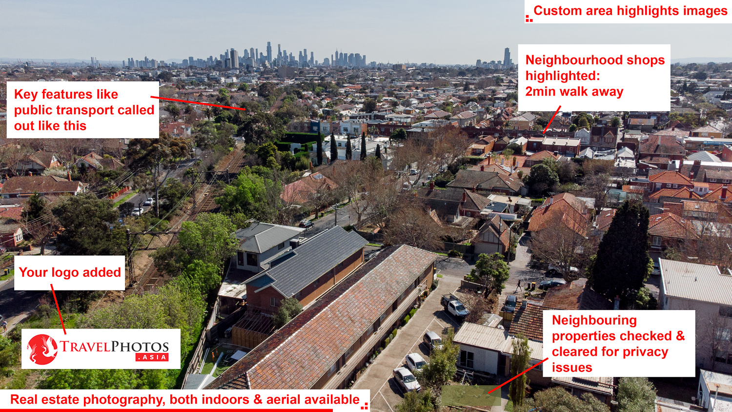
Quickly get a detailed view of structures in need of repairs, renovations. Or use images to survey and plan.
Privacy
Individuals: Drones commonly use a 50mm equivalent lens, with altitude, typically does not provide photographs of identifiable people. We can provide better resolution images than satelite images, but remember that aerial cameras have limitations. Contact us to learn more.
Real estate & property: We do not provide detailed images of real estate and property to people and organisations without the written permission of the property owners or their authorised agents. Images supplied to real estate clients will include a gausian blur over neighbouring properties, which helps to make the listed property stand out.
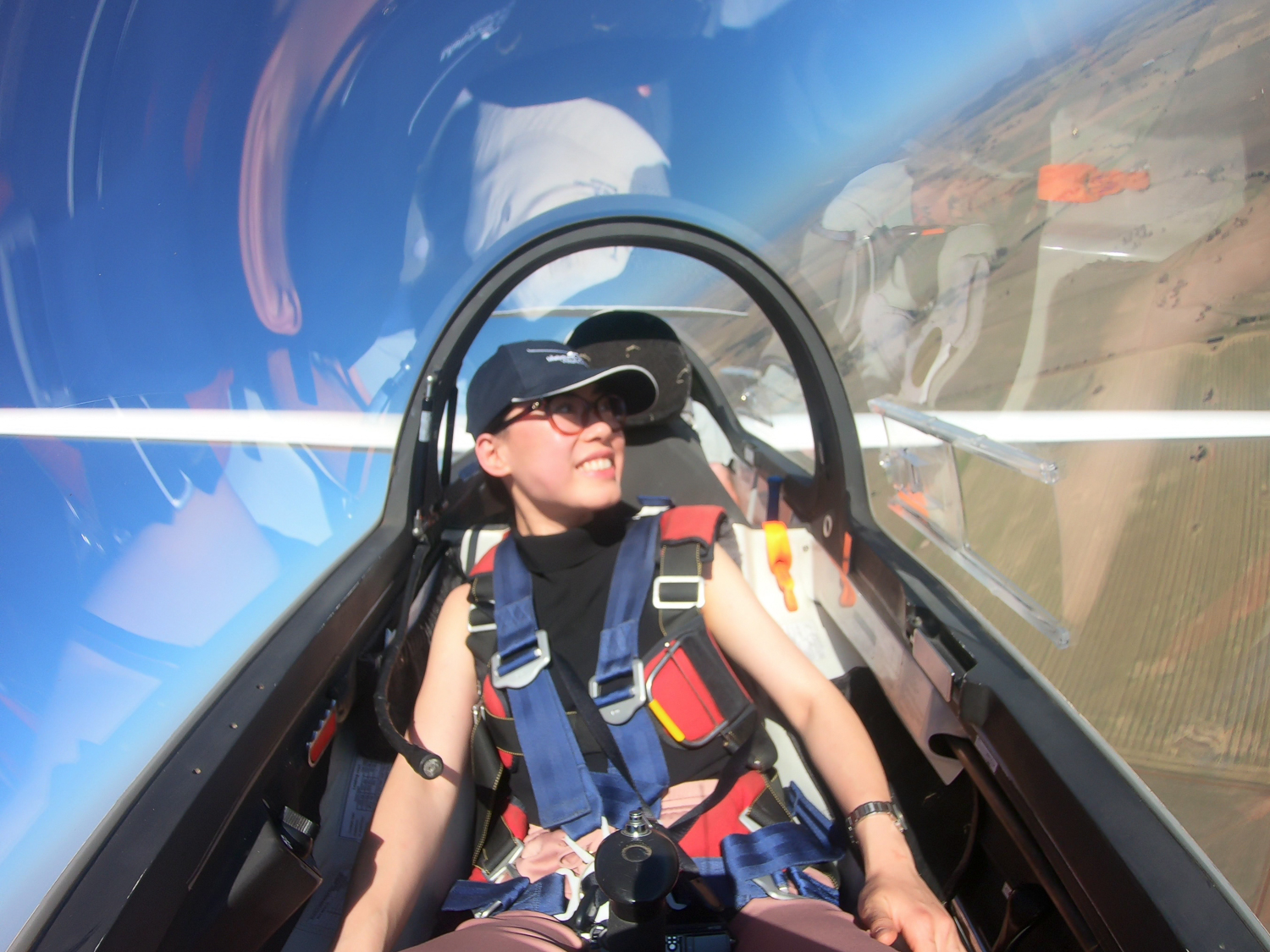
Aviation portraiture services also offered. Learn more at Portraits.
Drones must follow aviation laws. You can check to see if your address is OK2Fly in. Note, some areas it is illegal for amatures to fly, but not for licenced drone pilots.
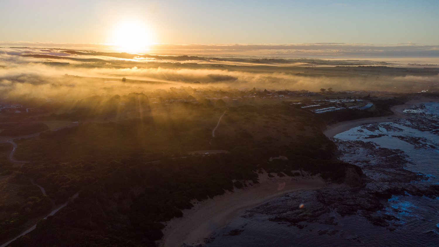
Sunrise over the Victorian coast
What you get:
- Trained, licenced, & qualified drone operator (RePL & ReOC)
- Trained and certified Aviation Radio Operators Certificate (AROC)
- Skilled aerial photographer & videographer
- Has public liability & insurance coverage
- Complies with civil avaiation laws
- Learn more at About
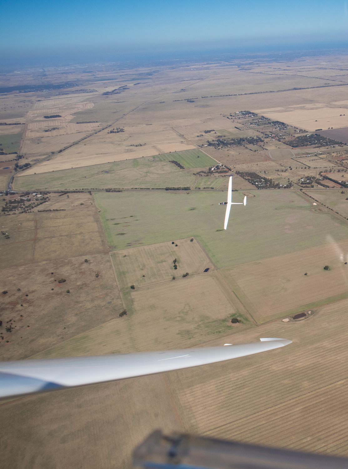
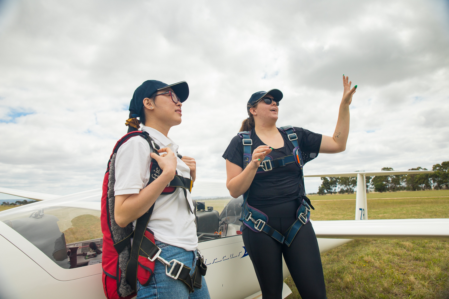
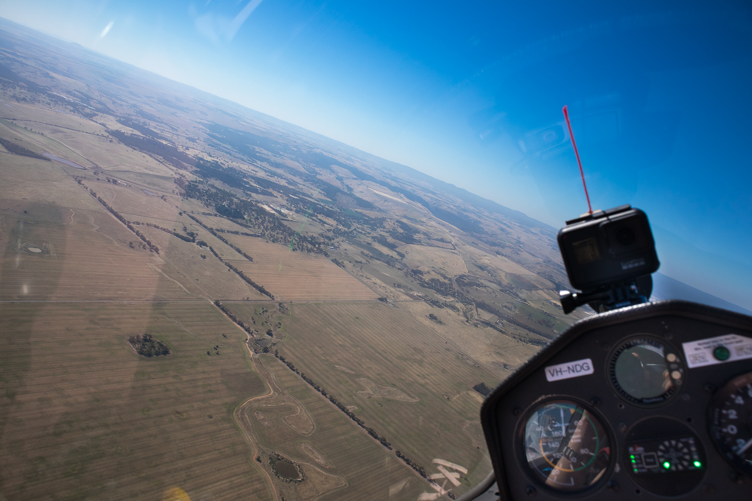
Gliding over Bacchus Marsh, Vic
Safety
We abide by Civial Aviation Safety Authority (CASA) regulations. Before each flight we ensure that we're not within 3 nautical miles (5.5km) of a controlled aerodrome, or have sufficient authorisations to operate closer. If operating within an uncontrolled aerodrome or heliport, we may need to suspend operations when aviation traffic is operating in the area. We can fly in conditions of upto 50km/h wind gusts, but flights may be suspended if there are safety concerns arising during operations.